
As I learned on Reddit.com “there is a company that secretly takes continuous, rapid, high-resolution aerial photos of crime-plagued cities to help police “rewind” time to view a crime as it happens and then to “fast-forward” the movement of suspects to their present locations.”
“Since January, police have been testing an aerial surveillance system adapted from the surge in Iraq. And they neglected to tell the public.
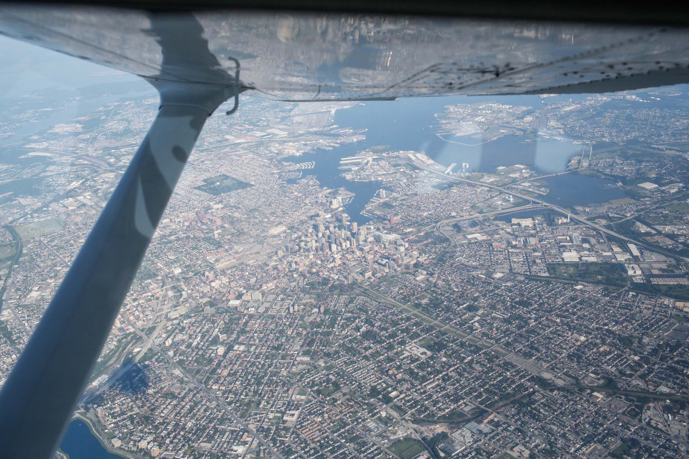
Since the beginning of the year, the Baltimore Police Department had been using the plane to investigate all sorts of crimes, from property thefts to shootings. The Cessna sometimes flew above the city for as many as 10 hours a day, and the public had no idea it was there.
A company called Persistent Surveillance Systems, based in Dayton, Ohio, provided the service to the police, and the funding came from a private donor. No public disclosure of the program had ever been made.
Ross McNutt, the founder of Persistent Surveillance Systems, …is an Air Force Academy graduate, physicist, and MIT-trained astronautical engineer who in 2004 founded the Air Force’s Center for Rapid Product Development. The Pentagon asked him if he could develop something to figure out who was planting the roadside bombs that were killing and maiming American soldiers in Iraq. In 2006 he gave the military Angel Fire, a wide-area, live-feed surveillance system that could cast an unblinking eye on an entire city.
The system was built around an assembly of four to six commercially available industrial imaging cameras, synchronized and positioned at different angles, then attached to the bottom of a plane. As the plane flew, computers stabilized the images from the cameras, stitched them together and transmitted them to the ground at a rate of one per second. This produced a searchable, constantly updating photographic map that was stored on hard drives. His elevator pitch was irresistible: “Imagine Google Earth with TiVo capability.”
- Sounds amazingly useful and simultaneously 1984 Orwellian and NWO creepy…
- If you like my articles, please consider subscribing/following my blog